Drone Roof Inspection for Visalia Commercial Properties
Commercial Roofing Services | Visalia and Tulare County
Drone Roof Inspection
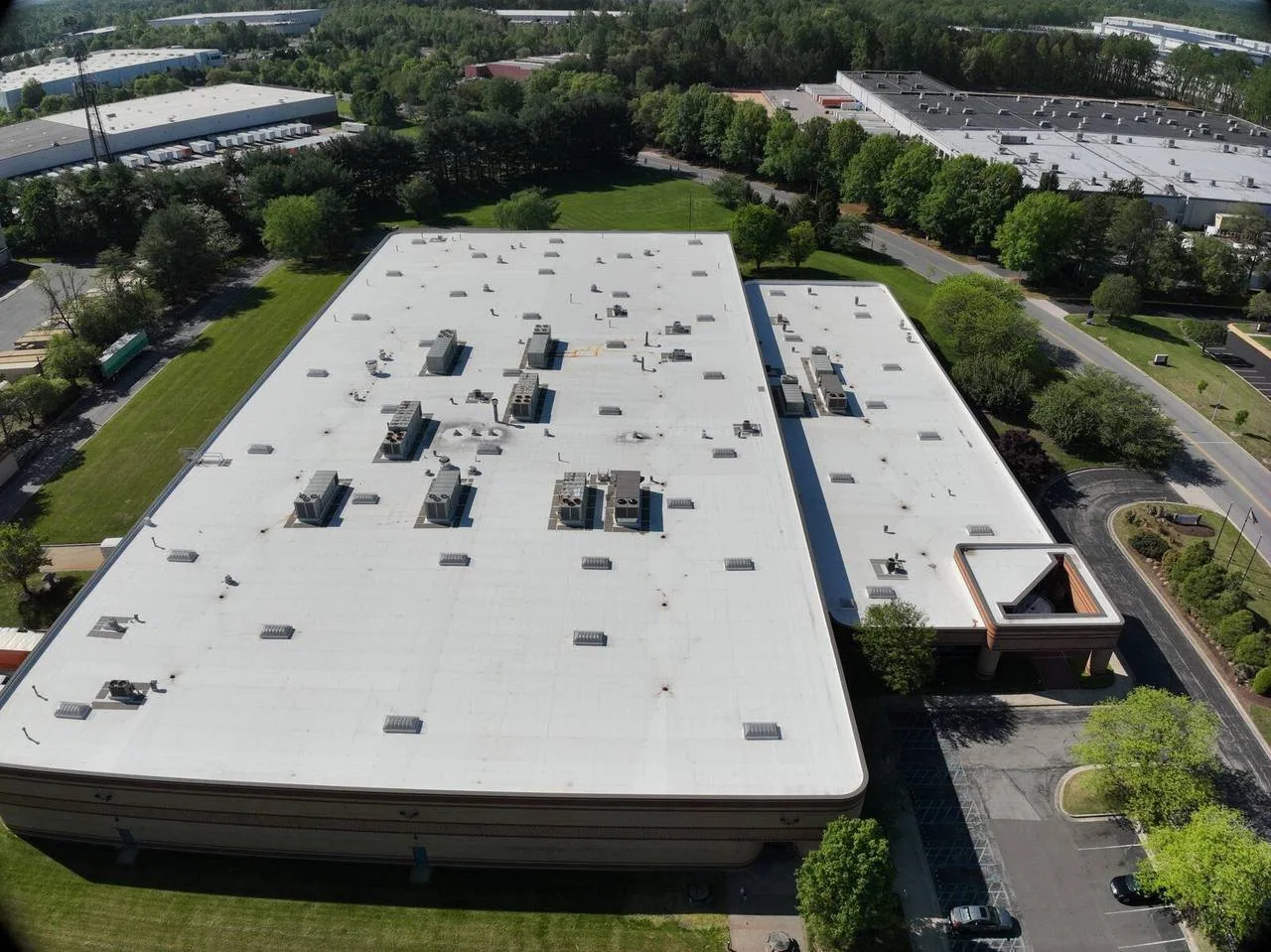
Drone images can help document a commercial roof that is large, obstructed, or difficult to reach, but an aerial view is one inspection tool, not a substitute for every roof check. We define the question first: locate visible damage, map equipment and penetrations, compare roof zones, or create a photo record for maintenance. In Visalia, long hot periods can age exposed details, and seasonal rain makes drainage visible after weather passes. A warehouse around the Visalia Industrial Park may have extensive roof area and rooftop equipment; a retail building on Mooney Boulevard may have signs, parapets, and public access below. The flight plan and report should fit the property, its access, and the decision the owner needs to make.

Choose What the Images Need to Show
Before launch, we review available roof plans, leak locations, previous repair notes, and the areas a manager wants documented. A general sweep may show debris, ponding, loose items, or visible surface damage. A close view may help examine a seam, flashing, curb, or drain from above. If the goal is to compare several roof sections, we plan consistent angles and labels so the images can be reviewed together. The deliverable should name the building and roof zone rather than leave a folder of unmarked pictures.
Images can also support a maintenance visit after rooftop equipment work or a storm report. They cannot show moisture below the membrane or prove that a seam is bonded. A ceiling stain still needs a leak investigation, and an infrared or core test may be needed to evaluate concealed wet material. We identify those limits before collecting images. The owner can then decide whether a drone pass answers the question or whether a hands-on inspection is necessary.
Plan Safe Access and Flight Conditions
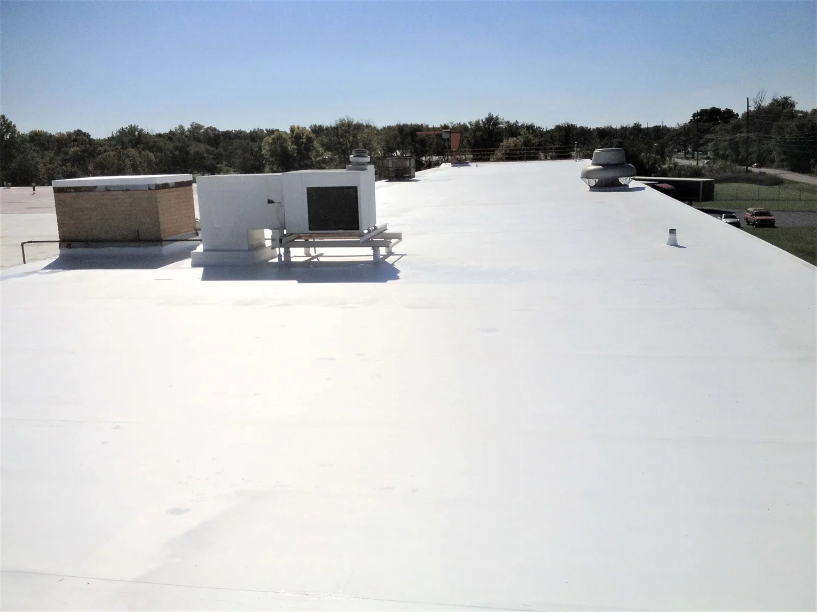
The roof and surrounding property determine whether a drone inspection is practical. We assess launch and landing space, obstacles, overhead lines, nearby structures, occupants, and weather. Wind can move the aircraft and make detail images harder to capture. Bright glare or deep shadows can obscure surface changes. Tall parapets, tree cover, rooftop equipment, and narrow setbacks can block a useful view. If these conditions prevent safe or clear imagery, the inspection should change method or wait for a better window.
Before flight, the manager helps identify active loading, pedestrian paths, restricted zones, and sensitive operations. The pilot establishes a controlled work area and keeps people clear of takeoff and landing. We do not fly over an occupied space merely to get a photograph. The plan also confirms who can provide roof access for follow-up images or a hands-on check. A drone should reduce access burden only when its operation is safe and the resulting views are good enough to guide the next step.
Capture the Roof in Reviewable Sections
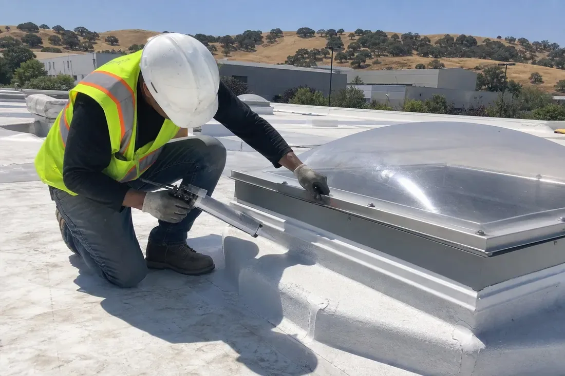
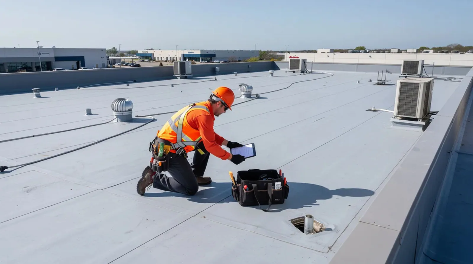
We organize images by roof zone and record the direction or reference point needed to find each view again. Wide images show the relationship among drains, curbs, walls, and equipment. Detail images focus on a reported defect without relying on digital zoom alone. A consistent sequence can help a facilities manager compare the same section at later inspections. We note areas the camera could not see, including locations hidden behind parapets, mechanical screens, tree branches, or overhangs.
A roof plan, when available, makes that file easier to use. We mark the flight path or photo points on a copy of the plan and label each observation with its approximate zone. If no plan is available, the report can use fixed references such as a roof corner, equipment group, or drain line. The image set should preserve context and avoid presenting a close-up as a complete roof condition. At a multi-building industrial property, separate files prevent one building’s image from being mistaken for another’s.
Separate Visible Conditions from Roof Conclusions
After capture, we sort images into observations and questions. A displaced piece of metal, damaged surface, blocked drain, or open-looking transition can be noted as visible. The cause, depth, and extent may need a closer inspection. Water can travel beneath a membrane; an aerial view cannot show whether insulation is wet. A shadow may resemble a crack, and a reflection may hide a seam. We flag those limits and request hands-on review where the image is not decisive.
We avoid assigning a repair scope from pixels alone. A roof technician may need to check adhesion, fasteners, flashing height, or the substrate. If the imagery shows a defect that could admit water, the next step can be a targeted roof walk. For repeated leak calls, compare image zones with interior locations and weather timing. The hands-on inspection remains the place to test what the camera suggests. If a moisture question remains, consider an infrared moisture survey with confirmatory checks where appropriate.
Use Aerial Records for Maintenance Planning
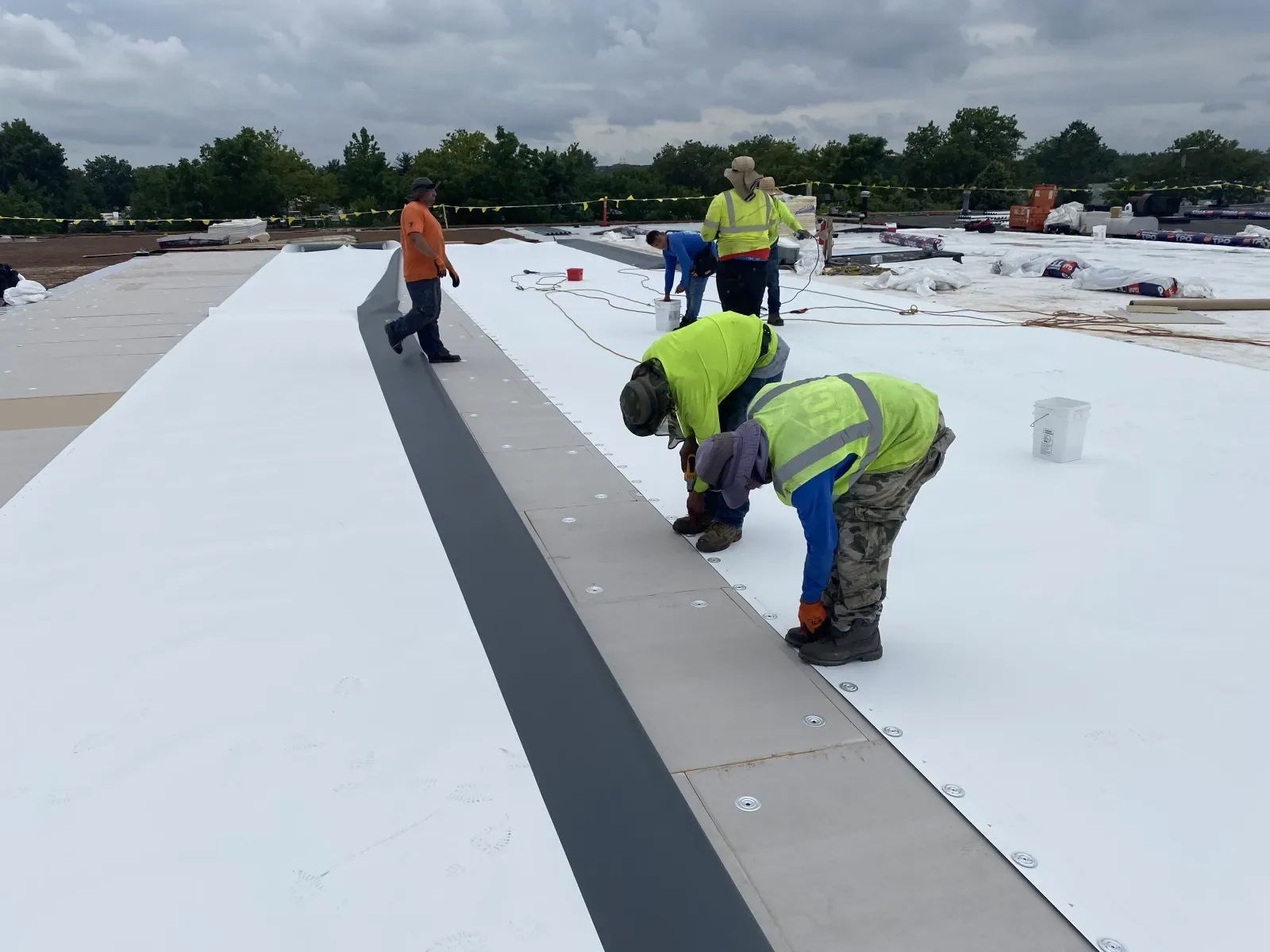
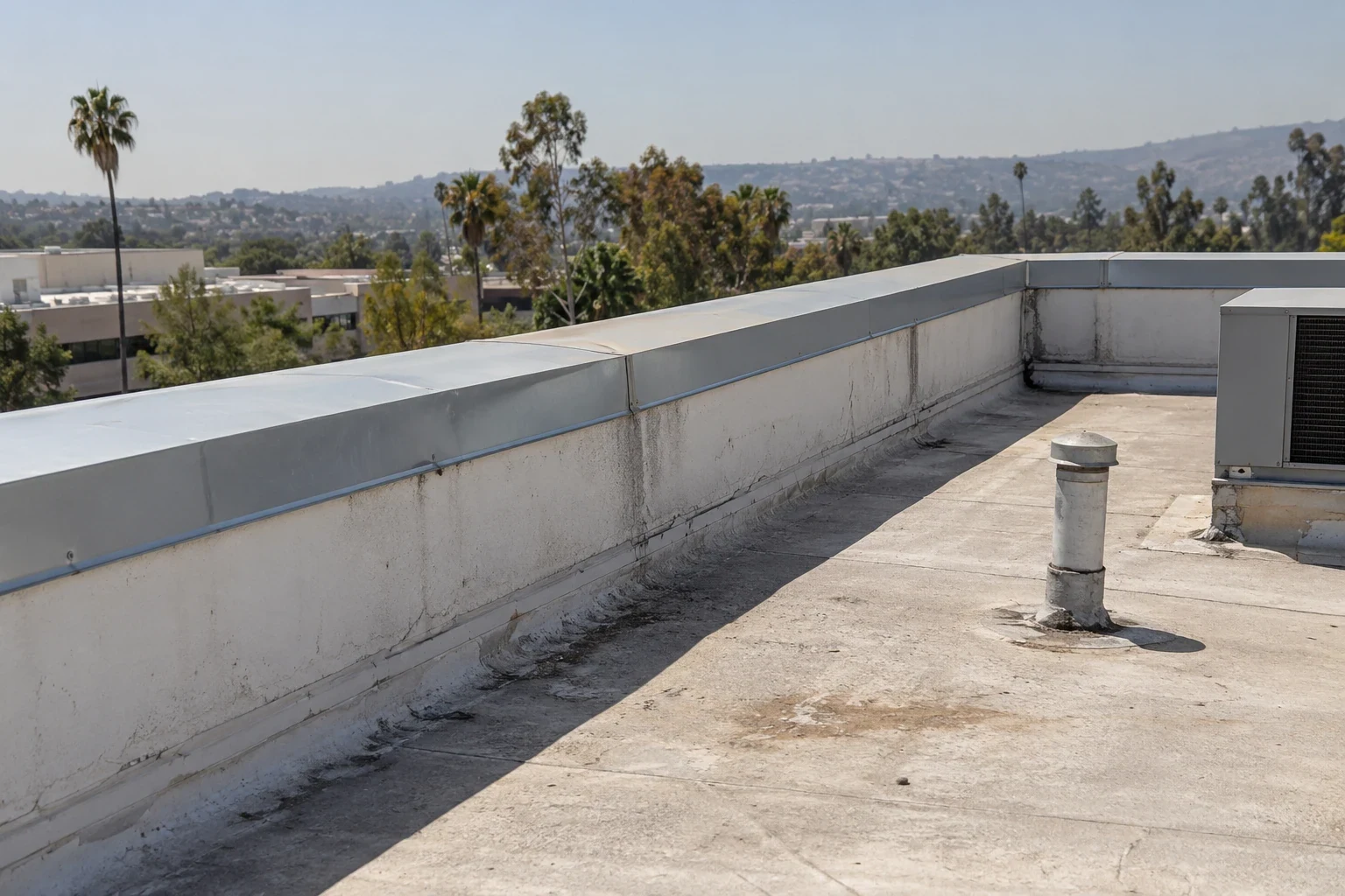
A dated image set can help the property manager track visible changes, locate service routes, and brief a roofing crew before arrival. Record what was captured, the weather, the roof zones skipped, and any follow-up inspections completed. A later flight can repeat photo points, but changes in light, camera distance, and equipment configuration can make exact comparisons unreliable. The report should treat images as a record of observed conditions, not as a warranty or promise about future performance.
Visalia’s Industrial Park has manufacturing, food processing, warehousing, and distribution uses, while Downtown Visalia includes retail, professional, government, nonprofit, and healthcare activity. Those land-use facts explain why a manager may need a clear visual record for different buildings, but they do not tell us what a particular roof contains. The same caution applies to a retail property near Mooney Boulevard: identify the building, roof zone, and access needs at the property rather than assuming district-wide conditions.
Pair Images with the Right Roof Check
The report should end with a short action list: visible item, roof zone, urgency, and the check that would confirm it. Debris can be assigned to maintenance; an open transition may warrant a repair visit; an uncertain surface condition may need a closer inspection. If the roof is large, images can help divide the next visit into sections. If the building is occupied, schedule the flight and any follow-up walk around tenant, loading, or production constraints.
For a leak at an industrial facility, link the image record to the active water path and the manager’s interior report. On a public-facing retail roof, confirm that the flight does not interfere with customer access. Related work may include commercial roof repair, leak repair, or preventive maintenance. Compare TPO and metal roof details only after the actual system is identified. The Visalia Industrial Park and Mooney Boulevard corridor have distinct property uses, but every roof still needs an individual finding.
Commercial Roofing Questions
Can a drone identify a roof leak?
It can document visible conditions that may help locate a leak, but it cannot confirm the concealed water path or moisture below the membrane. A roof walk may be needed.
Can drone photos replace a roof inspection?
No. Images provide a visual record from above. They do not test seams, fasteners, insulation, deck condition, or concealed moisture.
What weather is needed for a flight?
Wind, visibility, precipitation, glare, and safe access all affect whether useful images can be captured. We confirm current conditions before scheduling.
Will the report cover the full roof?
Only areas with a clear and safe view can be documented. The report identifies blocked, inaccessible, or skipped zones so the owner knows what remains unchecked.
What should be ready before the inspection?
Share roof plans, leak locations, access restrictions, flight-zone concerns, and any photo points you want repeated. Identify active loading and pedestrian routes as well.